 Sheila Sweetinburgh
 1776
1776Firstly, I have been informed by Marketing that the issues about card sales for the Medieval Canterbury Weekend 2022 from Friday 29 April to Sunday 1 May have now been resolved. However, if anyone is still having problems please would you let me know at sheila.sweetinburgh@canterbury.ac.uk and I’ll get in touch with Marketing and Finance. For those wishing to come to the Weekend or get the lectures online, please do check out the website at https://www.canterbury.ac.uk/medieval-canterbury and the CCCU Bookshop is also gearing up for the Weekend at: https://bookshop.canterbury.ac.uk/canterbury-history-weekend-2022 which is very exciting.
Now to a more immediate event in that this coming Saturday 26 March Dr Alex Kent is organising a one-day conference and exhibition entitled Canterbury Maps and Mapmaking: Imagining and Re-Imagining the City. The conferencein the morning is being held at Old Sessions House on the CCCU campus and the exhibition in the afternoon will be at Canterbury Cathedral Archives. As mentioned previously, the study day aims to provide a range of new perspectives on Canterbury that will establish its identity as a centre of cartography and offer fresh insights into the wider significance of the city’s role in the history of maps and mapmaking. Among the maps discussed by speakers will be Prior Wibert’s Waterworks Plan of Christ Church Priory, the Gough Map, John Speed’s map of the city and the new Canterbury Historical Map and Atlas Project.
If this looks of interest, tickets are available: £25 (£15 for students) which includes refreshments, lunch, and visit to Canterbury Cathedral Archives. To register and for more details, go to: https://www.canterbury.ac.uk/science-engineering-and-social-sciences/events/canterbury-maps-and-mapmaking.aspx or contact Dr Alex Kent at Canterbury Christ Church University at alexander.kent@canterbury.ac.uk .
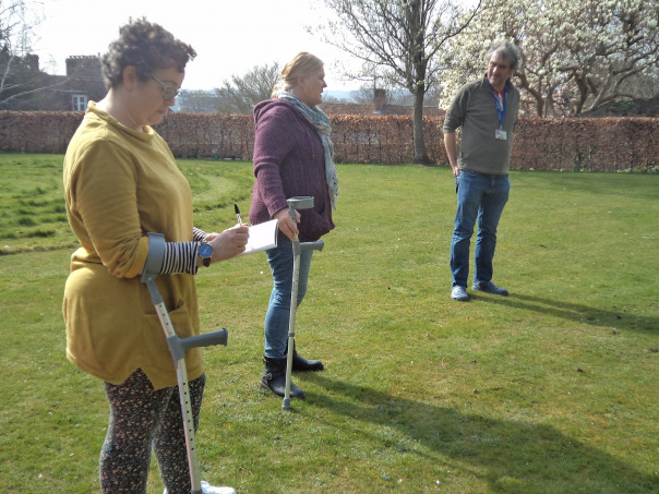
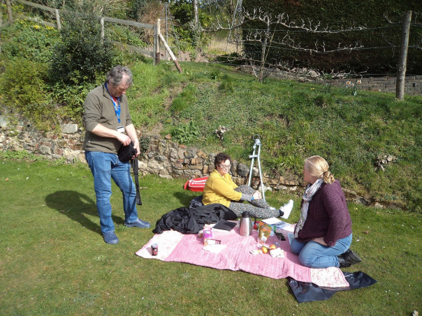
Keeping with ideas of place and space, I briefly joined Dr Diane Heath, Penny Bernard and John Hills at St Martin’s Priory garden on Monday when they met to plan out where the ‘green dragon’ will be going and what sort of plants would be appropriate to use regarding ideas about resilience and sustainability within the context of the climate emergency. As reported last week, Diane is a member of the ‘Deep Education and Community Level Activism’ project team, which has considerable crossovers with her and Penny’s Lottery-funded ‘Medieval Animals Heritage’ project: https://www.medievalanimals.org/ do check out the website.
As well as her Beastly Latin monthly meeting, Diane this week has been interviewing several 2nd year undergraduates as part of the Applied Humanities module. These students will be working on different aspects of the Medieval Animals project during April, and hopefully some will also be happy to volunteer to help at the Medieval Canterbury Weekend – all good for the CV! Furthermore, the Centre is working with a Taught Masters Medieval and Early Modern Studies student on more information pop-up banners for St Dunstan’s and St Peter’s churches in Canterbury. This collaboration is fantastic and includes my involvement with the Fellowship of St Thomas More at St Dunstan’s as the members put together a proposal to enhance the place and space of the church for communities near and far, another exciting initiative.
Place is equally pertinent for Dr Claire Bartram’s funded IHR Centenary project on a wide range of aspects linked to Dover and Professor Mark Connelly’s similarly funded project that involves two Local History Festivals 10am to 4pm, one on Saturday 23 April at the Westgate Hall, Canterbury and another on Saturday 30 April at the Royal Engineers Museum, Gillingham. The CKHH will be represented at both, Penny Bernard and I will be at Canterbury and Pete Joyce, one of the Kent History Postgraduates, will be giving a talk at Gillingham. Just a taster of these events: “Join local museums, universities, archives, and history groups in an action-packed day of engagement inspired by Kent’s history of trade, travel, and settlement. We’ll explore the world’s oldest seagoing boat and medieval pilgrims, the cultures and influences of migrant groups and visitors, and how war has made Kent home to many communities. With bite-size history talks for adults and teenagers, and hands-on and creative activities for all the family.”
A sense of place and space was also much in evidence last Saturday when wearing my Kent Archaeological Society Vice President hat, we had a very fruitful online KAS History Forum. Representatives from getting on for 20 local history and similar societies were keen to share reports about how they have coped during lockdown and since with the imposition at times of other restrictions. For not all societies had embraced Zoom, and some had had quite a gap when members hadn’t met, although most had managed to restart monthly meetings by September 2021. The implications of such changes to the way societies functioned varied quite a bit and some had set about getting their members involved in other ways, including research projects and digitisation of their society’s archives, such as photo collections. Keeping members informed had been a major priority and some had instigated monthly newsletters. Rethinking where to meet had been something some societies had looked at and this had had unexpected benefits where such spaces had also been used for coffee mornings, thereby increasing visibility, attracting new members and starting to boost group funds.
We had then gone on to have a good discussion about plans for the future and whether having such things as in person and streamed lectures was feasible or sensible, and what that might involve. For some societies, the Zoom experience had meant they had been able to attract an international audience, and for some members this had become the only way they are prepared to attend talks. While this was in some ways not a problem and had brought in good sized audiences, for some societies this had meant ways of raising funds had been seriously hit.
Other ideas put forward were the desirability of websites and then the need to ensure that there are sufficient people prepared to offer material, as well as the necessity of succession planning to ensure there will be people to keep websites going after the first group of people have stopped. Moreover, this broadened into thinking about the value of Facebook and Twitter and how these might be used for maximum effect. Taking these ideas together, there was a general feeling that by and large societies were almost back to where they had been before Covid, for even if projects/ideas had changed, societies had come through and were now back to being active organisations again.
Thinking about ways KAS could aid societies, there were people who thought the provision of workshops on specific areas would be useful, these might include livestreaming or palaeography. In addition, the revival of the speakers’ list was seen as worthwhile. Thus, taking all these ideas and the discussion around them, the consensus was that it had been a good meeting and another in 6 months would be worthwhile.
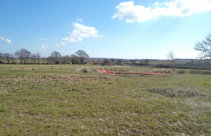
Narrowing down the concepts of place and space from county to a smaller region as well as to the local, I had a Lossenham Project History Group meeting as well as a Nonington Landscape project meeting this week. Taking Lossenham first, the idea was for the leading members of the project to provide an update of where we are currently with the project. I won’t go through all the reports here but just to say Andrew is making progress on the Research Strategy document and hopes to be able to draw in others more fully to help with the medieval and post-medieval sections shortly. As he demonstrated, he has adapted the South East Research Framework (SERF) to fit the particularities of Lossenham. Hence, he is using chronological and thematic frameworks to put forward research questions, as well as site-specific research agendas. Paul, too, has been drawing on the outline of the Research Agenda for his maps, plotting such things as finds from the Portable Antiquities and Historical Environment records, as well as metal detectorist finds. Work has also taken place on the pottery finds from last year, and Luke Barber, a medieval pottery expert, is going to come soon and do some spot dating.
Away from the archaeology, Jason has been working on the special collection, the books having come up from Lossenham to Nackington. Cataloguing within a searchable relational database is planned and the new library has the potential as an individual research and seminar space for group use, which is another positive development. Equally positive is the progress made by the wills group and, as Rebecca outlined, people are busy transcribing the lower court wills as well as those from the PCC. In part this seems to have been spurred on by the group’s enthusiasm for the planned Lossenham Priory Study Day in September.
Thinking about other ways to explore the landscape of the Rother and the Weald, Brendan and Helen have been considering routeways and the river, but also the layout of the friary, especially in comparison to Burnham Norton Friary. The specific topic of concern is the position of the church relative to the other friary buildings and Brendan is very keen to see just how close the Lossenham layout is to the Norfolk friary. Also landscape driven is Alan’s work on the 19th-century brickworks and lime kiln in Newenden. These he has been investigating using historic OS maps, tithe apportionments, census materials and the parish records. The results of his research are very interesting concerning the level of industry locally.
Having got a good idea of where the project has got to, we then spent a shorter time highlighting what is planned to happen over the spring and summer, including the focus of the archaeology this year. This is likely to be a two-pronged approach and more on that as things start to take place. In conjunction with the excavations, more geophysics will be taking place as well as the use of other non-invasive techniques, the results used by Paul to compile maps and plans which will help guide the excavations. More work will be taking place on the special collection at Nackington, and the Study Day, including talks and exhibition pop-up banners, is involving the wills group volunteers. Annie is also organising events especially open days and she is intending to build links with local schools. Regarding outreach and attracting people Brendan and Helen are similarly planning an event which in some way will relate to the role of routeways in the landscape. Thus, all in all we had a very productive and informative meeting that demonstrates how far we have come collectively and the excitement of what is to come.
Finally moving to Nonington, I met Keith, Clive, Peter H and Peter V online earlier this week to see if we could scope out an outline for a Masters by Research project, thereby giving enough of a steer for a potential candidate but at the same time giving that person sufficient room to develop their own angle. I think we made good progress and I’ll be putting together an abstract later this week under the title ‘Evolution of a downland landscape: Nonington 700–1400’. This will be a multi-disciplinary project, bringing together evidence from the landscape, archaeological excavations and documentary sources. A bursary will be available and if this project sounds interesting, please do get in touch.


